


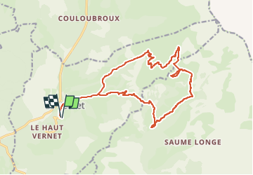

15,3 km | 24 km-effort


Benutzer


Kostenlosegpshiking-Anwendung
 SityTrail
IGN / Geografische Institute
SityTrail World
Die Welt öffnet sich für Sie
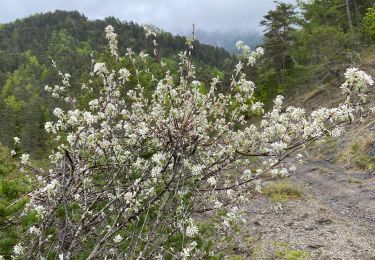
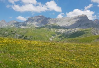
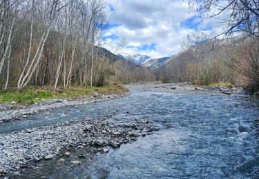
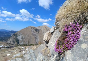
Tour Zu Fuß von 20 km verfügbar auf Provence-Alpes-Côte d'Azur, Alpes-de-Haute-Provence, Le Vernet. Diese Tour wird von Monique14 vorgeschlagen.
Le Vernet - Val Pousane par la route des Béliers (10kms)
Val Pousanne - Pié Fourcha (4,1kms)
Pié Fourcha - Col Mariaud (1,8kms)
Col de Mariaud - Le Vernet (4,39kms)

Wandern
Wandern
Wandern
Zu Fuß

Zu Fuß
Zu Fuß
Wandern
Wandern
Wandern